89 LINCOLN ST
Owner Information
WHALEN JOHN J ETUX
89 LINCOLN ST
DEDHAM, MA 02026


Property Details
89 LINCOLN ST is classified as a Single Family Residential (Colonial).
The primary structure on this property was built in 1925. There are 4,599ft2 of built area within this property. There is 2,012ft2 of residential/living space within this property. This property is listed as having 8 rooms.
89 LINCOLN ST is valued at $583,500. The land is valued at $280,600 and the structures are valued at $292,300. There is an additional valuation of $10,600 on this property.
This property is in Zone B. Confirm with local Zoning Board authorities to ensure there are no overlays or other easements on this property.
The most recent deed for 89 LINCOLN ST is recorded at the local registrar in Book 12151, Page 105. 89 LINCOLN ST was last sold on Monday, December 15, 1997 for $205,000.
Assessment data from fiscal year 2020.
Flood Data
According to the FEMA National Flood Hazard Layer, this property does not appear to be in a flood zone. It may also be in an area not yet reviewed. Nonetheless, confirm this information prior to taking any action.
To view the flood hazards around this property, create a FEMA "Firmette" Map of the area around 89 LINCOLN ST.
Broadband Internet Providers
| Provider | Type | Bandwidth (mbps) | |
|---|---|---|---|
| VSAT Systems, LLC. | Satellite | 2 | 1 |
| GCI Communication Corp. | Satellite | 0 | 0 |
| RCN | Cable | 1000 | 20 |
| RCN | Cable | 500 | 20 |
| Verizon New England Inc. | Fiber | 940 | 880 |
| Verizon New England Inc. | DSL | 5 | 0 |
| Viasat Inc | Satellite | 100 | 3 |
| Comcast | Cable | 1000 | 35 |
| HughesNet | Satellite | 25 | 3 |
Broadband service provider data from December 2020.
Adjacent Properties
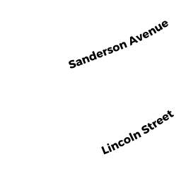
- 76 SANDERSON AVE
Two-Family Residential owned by BOWLER SHEILA A - 83 LINCOLN ST
Single Family Residential owned by CAMPBELL THOMAS ETUX - 95 LINCOLN ST
Single Family Residential owned by BAYIATES JOHN A ETUX - 80 SANDERSON AVE
Single Family Residential owned by GRENIER EVAN ETUX - 84 SANDERSON AVE
Single Family Residential owned by TAMBASCIO JOSEPH E